Additional information
| Weight | 17 oz |
|---|---|
| Dimensions | 10 × 8 × 1 in |

$800.00
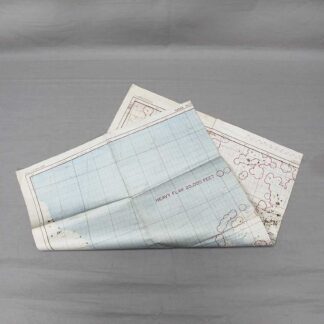
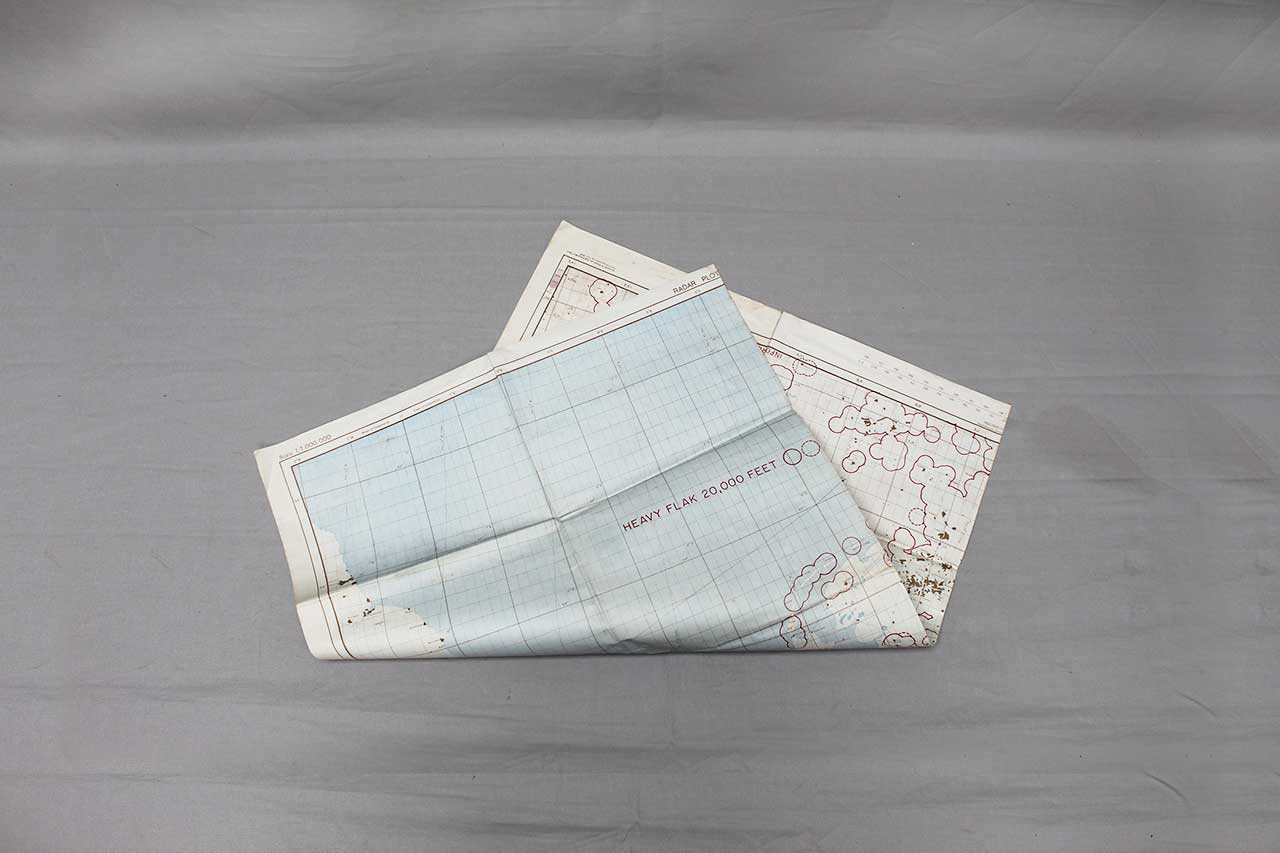
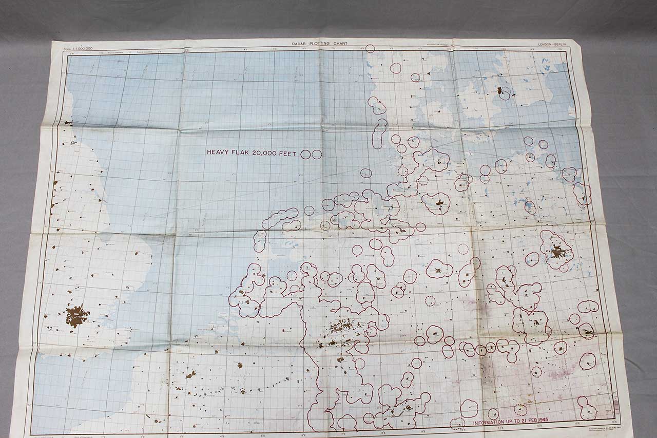
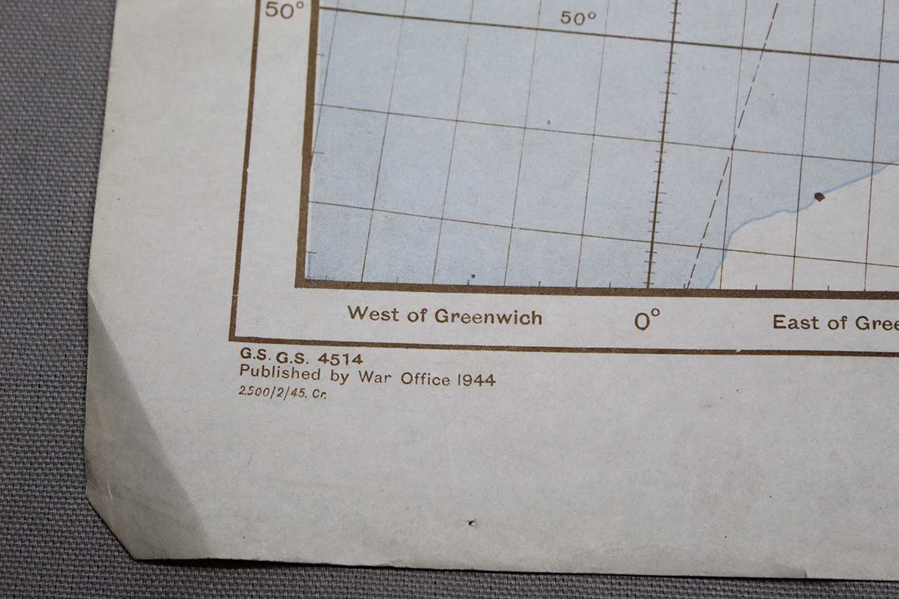
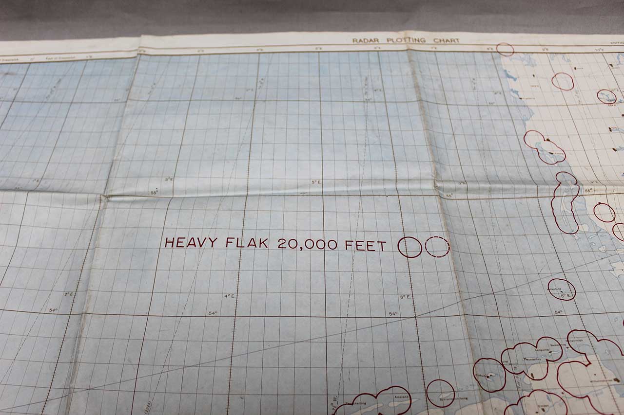
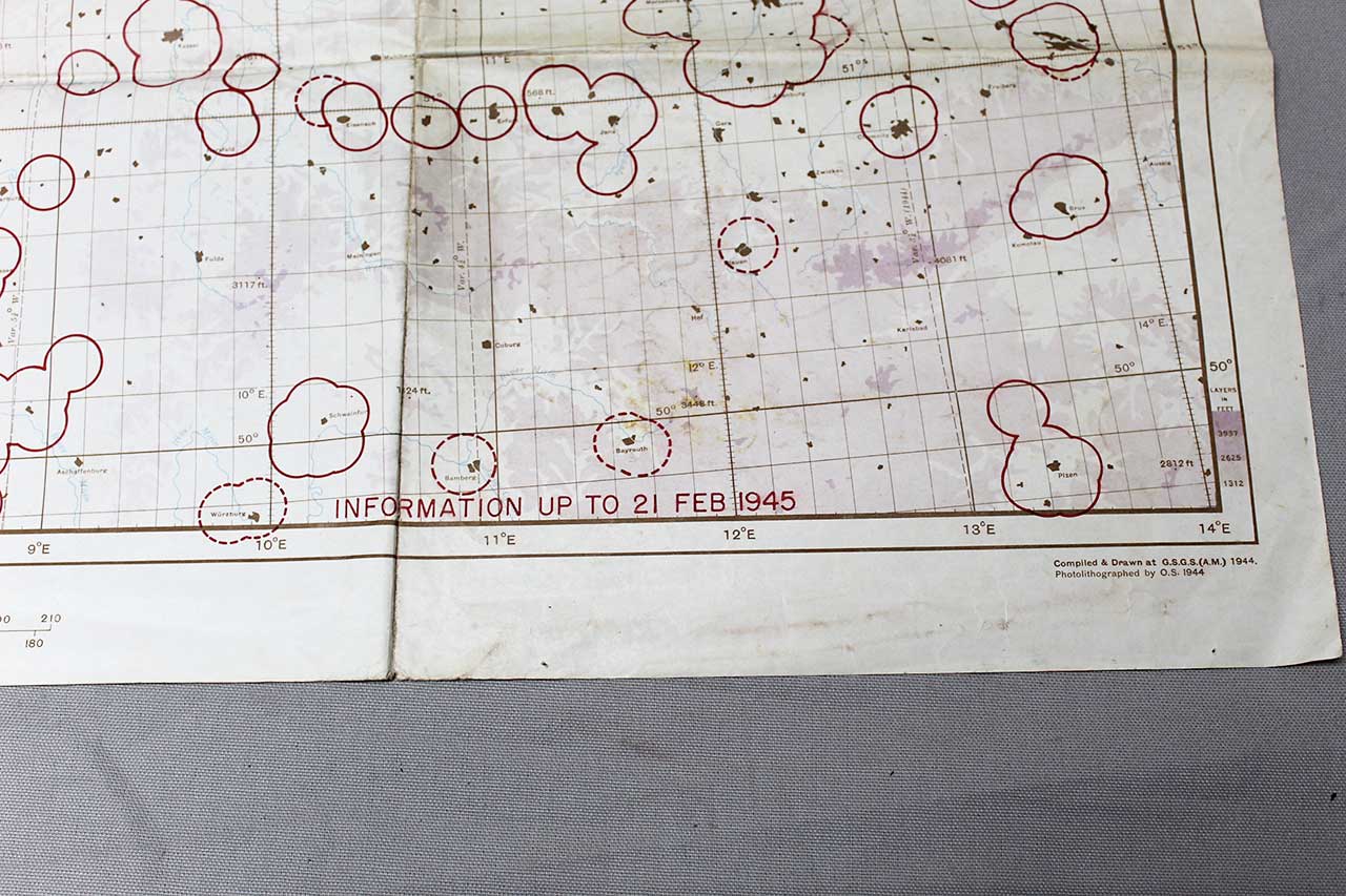
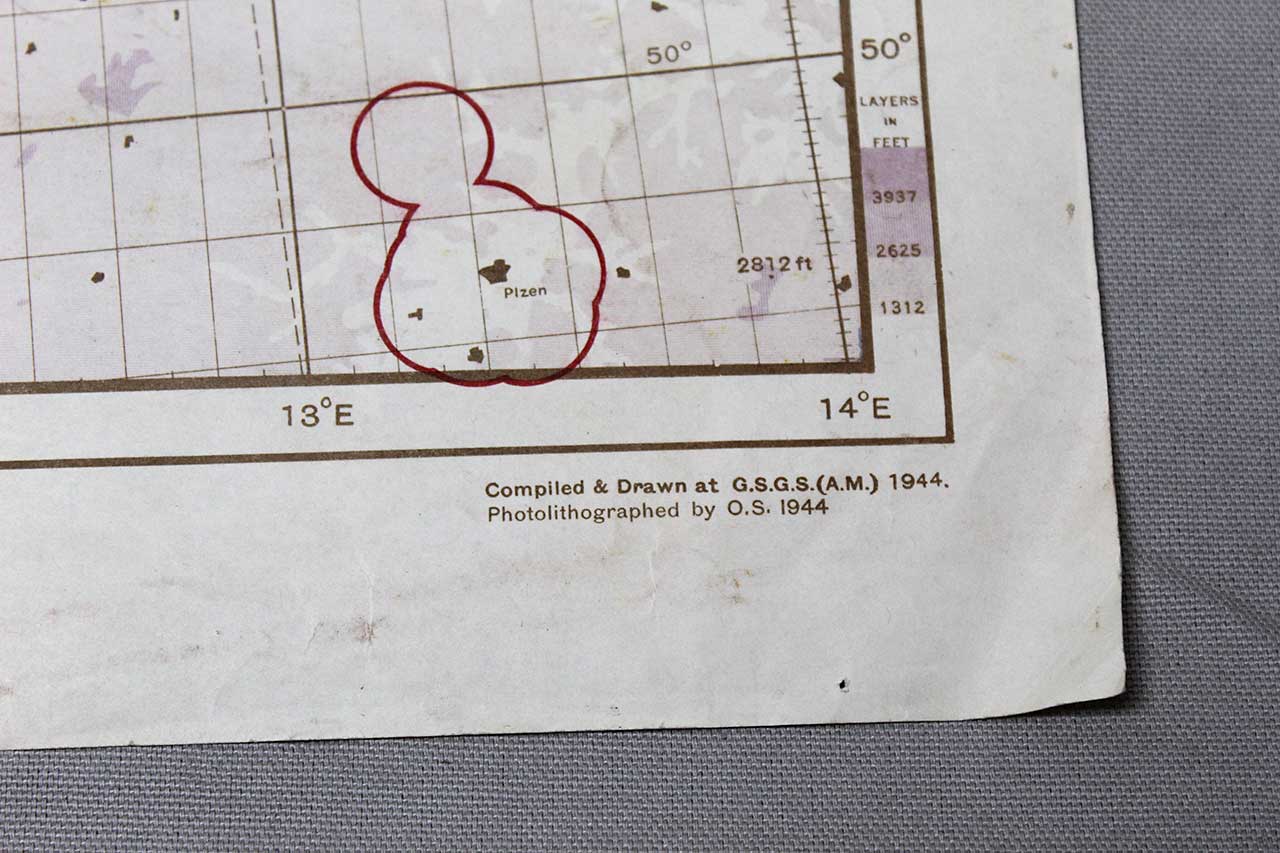
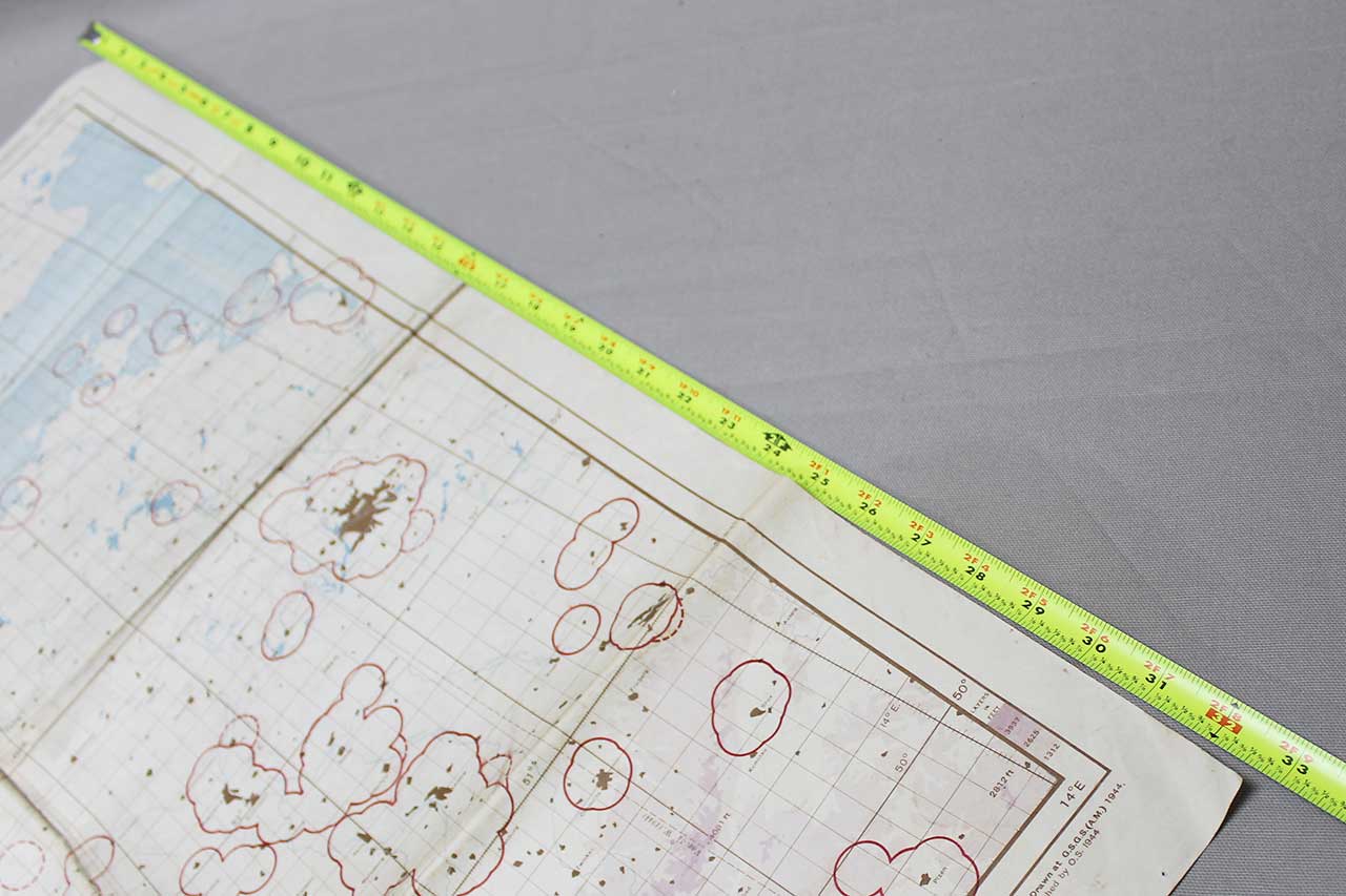
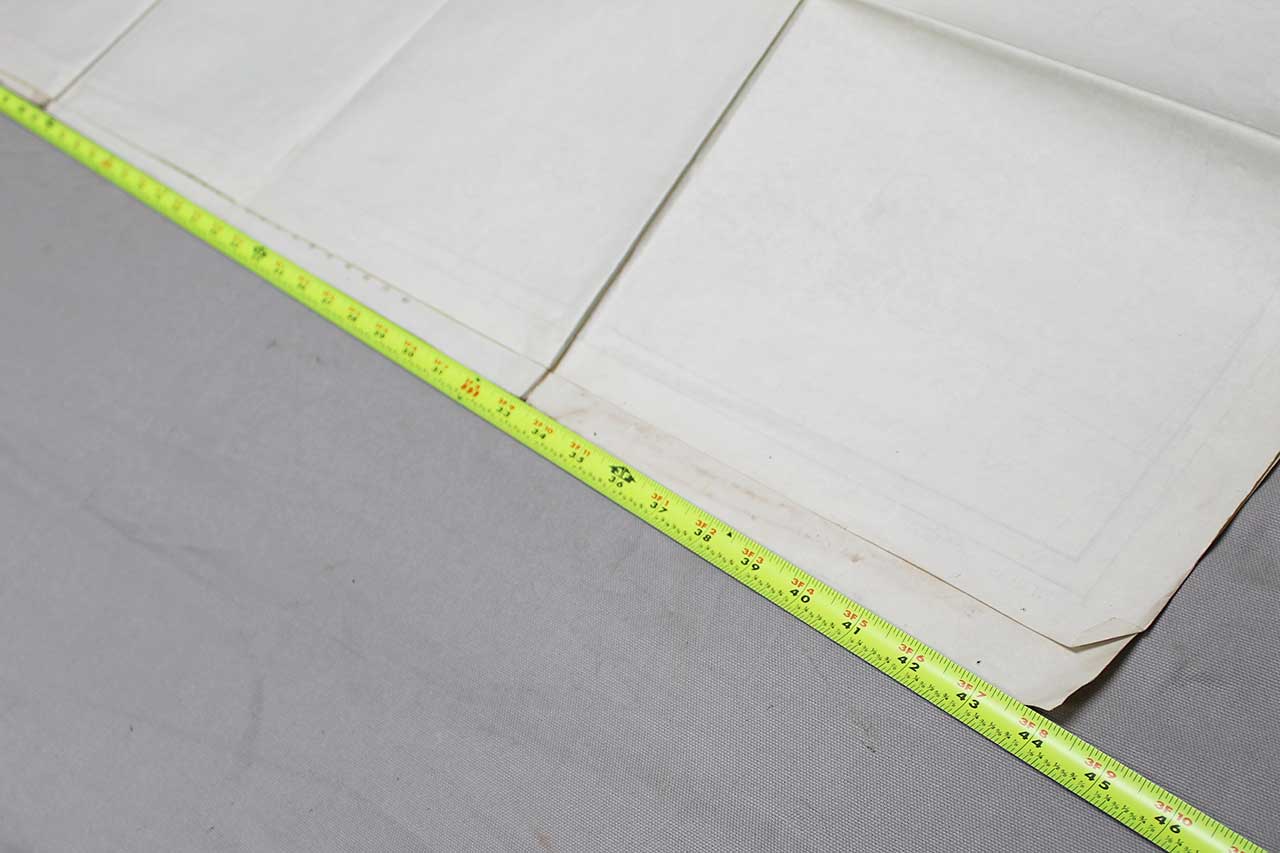
WW2 Large 1944/1945 Map London-Berlin. Flak areas marked on map. G.S.G.S. 4514 Published by War Office 1944. Marked information up to 21 Feb 1945. Radar Plotting Chart. Size approximately 44 inches X 33 inches. Very Worn condition with many folds and creases.
See Additional Information for shipping dimensions.
In stock
| Weight | 17 oz |
|---|---|
| Dimensions | 10 × 8 × 1 in |